The Positioning, Navigation, and Timing Problem the Pentagon Can't Outsource
 R. Kessler
GPS works until it doesn't. And in contested environments, it doesn't with increasing regularity.
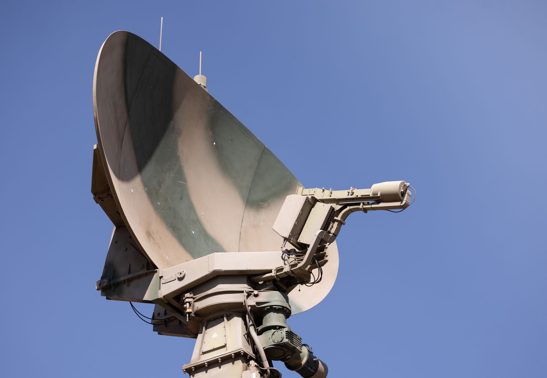 Photo by Magda Ehlers on Pexels.
Russian forces have been jamming GPS signals around Kaliningrad and the Black Sea for years. Iranian-backed groups have spoofed commercial aircraft transponders over the Persian Gulf. Ukrainian drone operators have adapted their navigation stacks mid-conflict because GPS denial is now a baseline assumption, not an edge case. The U.S. military knows all of this. What it hasn't fully solved is what comes next.
Positioning, Navigation, and Timing (PNT) sounds like a boring logistics problem. It isn't. Modern warfighting runs on synchronized time and precise location in ways that most people outside the defense electronics community don't fully appreciate. Encrypted comms depend on timing. Precision munitions depend on position. Networked ISR depends on both. Knock out PNT and you don't just lose navigation; you degrade the entire operational stack.
The current answer from most platform primes is "GPS plus inertial." Inertial navigation systems (INS) measure acceleration and rotation rates to dead-reckon position when satellite signals drop. The problem: INS drift. Even high-quality ring laser gyroscopes accumulate error over time, typically on the order of one nautical mile per hour for tactical-grade units. Run an autonomous platform in GPS-denied conditions for thirty minutes and you've got a navigation solution that's drifted enough to matter. For a loitering munition, that's a mission kill.
This is where the hardware gets interesting.
Cold atom interferometry offers inertial sensing with dramatically lower drift rates by using laser-cooled atoms as the inertial reference mass. The physics are elegant: matter-wave interference patterns shift with acceleration, providing an acceleration measurement that doesn't degrade over time the way mechanical or photonic gyros do. DARPA's Quantum-Assisted Sensing and Readout program and similar AFRL initiatives have been chasing fieldable quantum inertial sensors for over a decade. Size, weight, power, and cost (SWaP-C) have been the bottleneck. That's starting to break.
Smaller cold-atom systems are emerging from university spinouts and a handful of well-funded startups. Chip-scale atomic clocks (CSACs), already deployed in some defense platforms, provide holdover timing accurate to microseconds over hours when GPS drops. Pair a CSAC with a low-drift quantum inertial sensor and a terrain-aided navigation algorithm and you have a PNT solution that doesn't need to phone home to a satellite.
Terrain-referenced navigation deserves more attention than it gets. The idea is old: match real-time sensor data against a pre-loaded terrain database to bound navigation error. TERCOM (Terrain Contour Matching) guided Tomahawk cruise missiles in the 1980s. What's changed is the sensor fusion side. Modern implementations combine lidar, radar altimetry, and visual odometry against high-resolution digital elevation models. Running that fusion pipeline efficiently on an edge AI processor while managing SWaP constraints is a serious embedded systems challenge, and several defense primes are now building custom ASICs specifically for it.
The timing dimension is often underappreciated even in defense circles. Two-way satellite time transfer and GPS disciplined oscillators have become so reliable that many military systems quietly assumed them as infrastructure. Resilient PNT programs are now retrofitting atomic clock holdover into nodes that never had it, which means integrating physics packages into tactical hardware designed with no room to spare.
Here's how a resilient PNT stack looks when you build it with all the layers:
graph TD
    A[GPS/GNSS Signal] --> D{PNT Fusion Engine}
    B(Quantum Inertial Sensor) --> D
    C[Chip-Scale Atomic Clock] --> D
    E[/Terrain-Referenced Nav/] --> D
    D --> F((Resilient Position + Time Output))
    F --> G[Platform Guidance and Comms]
No single layer is sufficient. Resilience comes from the fusion, and the fusion is only as good as the algorithms managing sensor trust and conflict resolution when signals disagree. That's an AI problem running on constrained hardware at the edge. Which means it's also a chip design problem, a software problem, and a sensor physics problem, all at once.
The defense industrial base is starting to treat PNT as a system of systems rather than a GPS receiver plus backup. That shift is slow. Qualification cycles for inertial sensors on safety-critical platforms run years. Integrating novel quantum sensing hardware into platforms certified to MIL-STD-461 and DO-160 is not a weekend project.
But the operational urgency is real. Adversaries have figured out that jamming and spoofing GPS is cheap, effective, and strategically disruptive. The response has to be a navigation stack that doesn't have a single point of failure at 1575.42 MHz.
Building that stack is one of the more technically demanding convergence problems in defense electronics right now. It sits at the intersection of quantum physics, ASIC design, real-time AI inference, and systems integration. That's a hard combination to staff, fund, and field on any timeline the threat environment cares about.
Get Bits Atoms Brains in your inbox
New posts delivered directly. No spam.
No spam. Unsubscribe anytime.